Next photo |
Thumbnails | Back to Flatwater Index
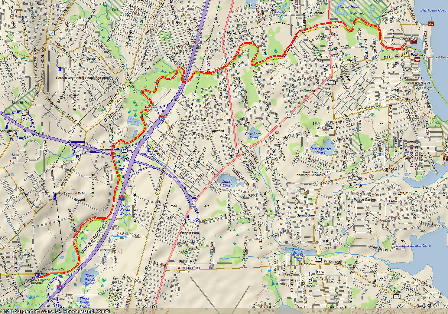
Click for Topo Map
|
| 1-overview_map.jpg |
You can view the paddle route on Google Earth. Install Google Earth on your computer (if you don't have it already installed).
Click on KMZ track file and for options, click Open, if a choice to Open with is shown, make sure it is Google Earth.
Google Earth will shortly open and import the the GPS tracks. If you do not see the tracks, look in left side and make sure the box for "Tracks" is checked.