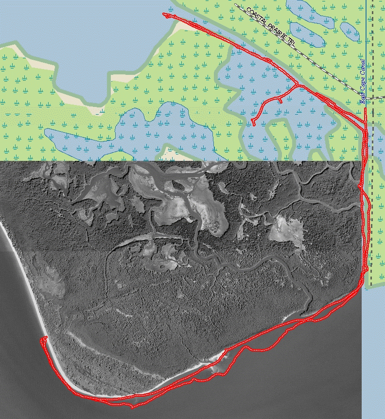
This was the only Delorme map on my gps used for tracking progress. I should have
installed the upper aerial maps which would have been of use later in the day.
Previous photo | Next photo | Thumbnails | Back to Front Page
|
| cape_camp02.png This was the only Delorme map on my gps used for tracking progress. I should have installed the upper aerial maps which would have been of use later in the day. |