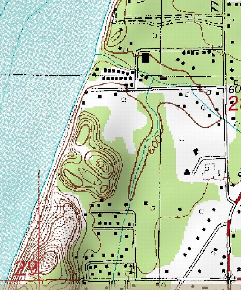
Another Delorme map of the 24,000:1 topographic USGS map. Note that in the camp area all the cabins are marked quite
accurately. I have noticed that while USGS adds structures (usually in magenta) they do not seem to remove them.
This gives us a nice overall layout of the campground including the new main Lodge.
There seems to be an extra building near the shore bluff. It also shows all the development to the east of the dunes.
The elevation is referenced to MSL, mean sealevel.