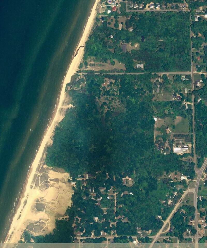
This is the Delorme color aerial photo of the area from the camp to the dunes. This is
the same image that Google Earth uses currently, June 1, 2005, which I will refer to in the next pages. Note that the
creek coming through the camp has made a diversion on the beach. This is due to the southward drift
of the sand along the shoreline. The time of year obscures many objects on the ground, which
is why survey photo are in black and white and in the Spring.