|
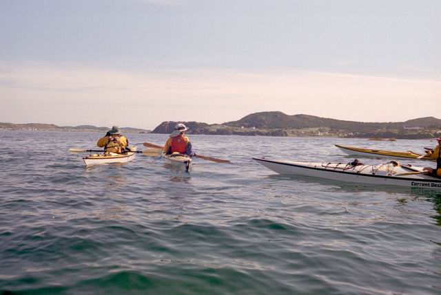
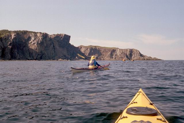
Paddle around Long Point into Twillingate Harbor
|
||||||
|
Paddle around Long Point into Twillingate Harbor
|
||||||
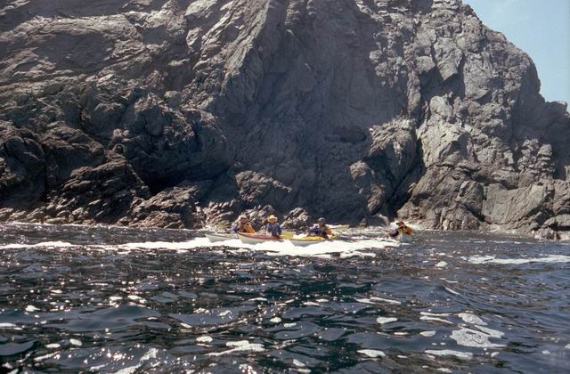
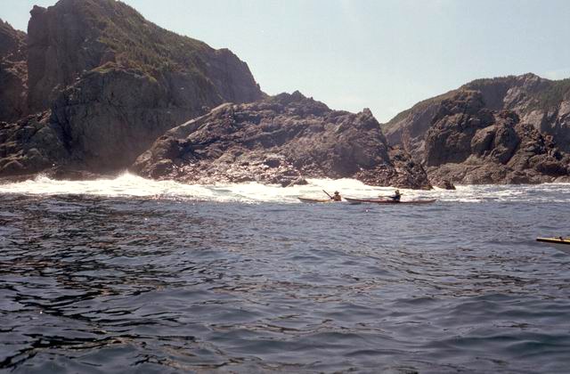
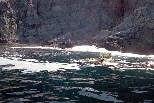
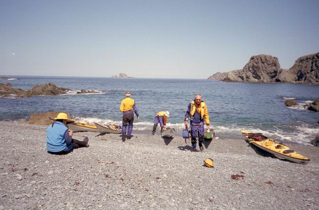
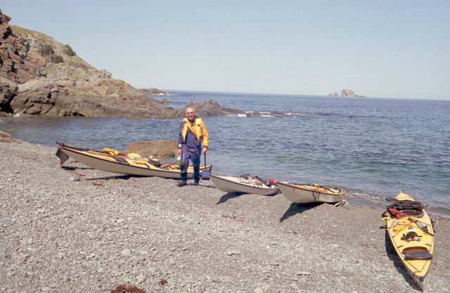
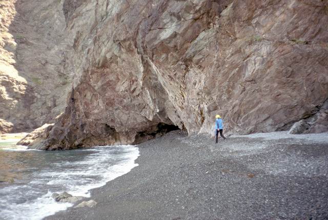
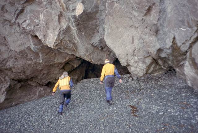
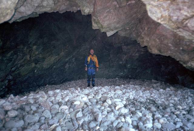
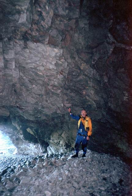
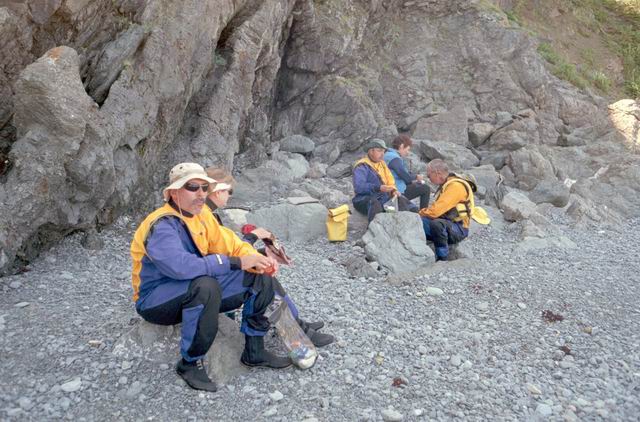
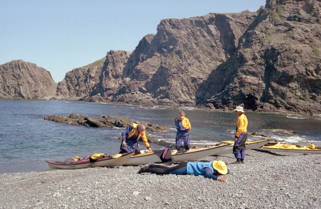
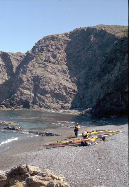
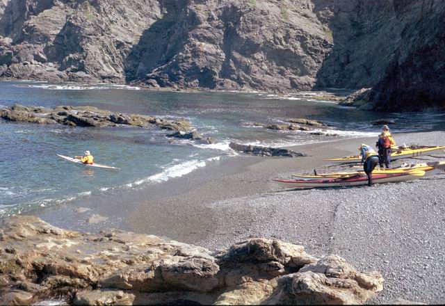
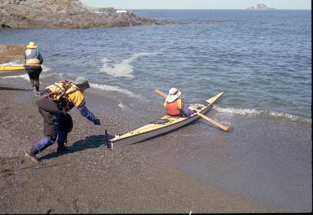
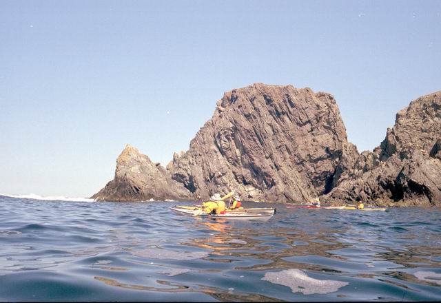
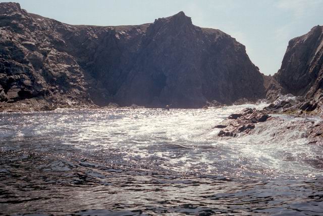
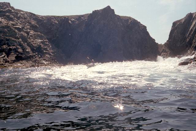
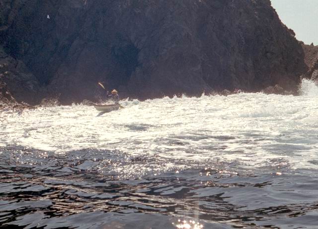
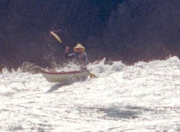
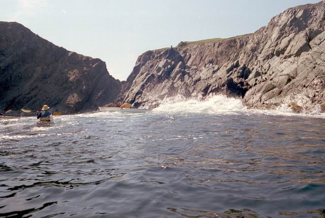
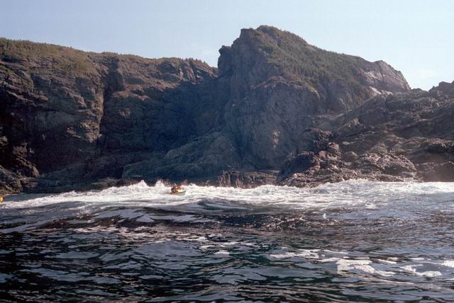
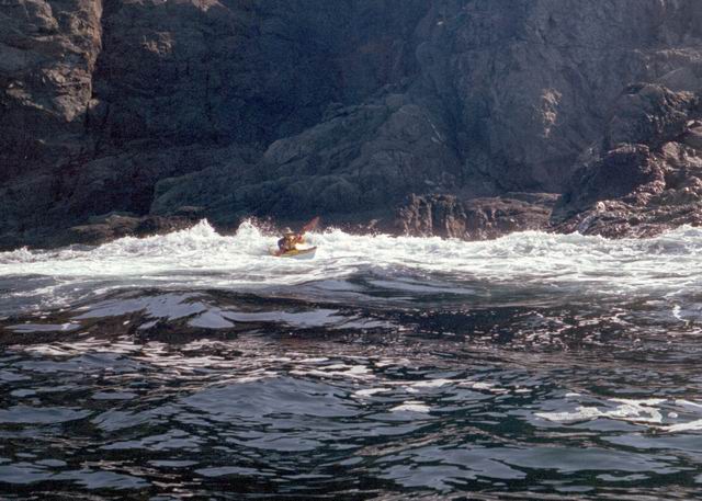
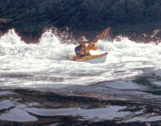
After paddling around Long Point we pulled into a sheltered beach that had a open cave in the cliff. It was about 25 ft by 15 feet and about 15 feet high. During normal weather the cave is open and dry but during a Northeaster storm it probably floods. After we had lunch and layed around for awhile we headed farther south into Harts Cove. While going along the coast several members of our group kept close to the waves breaking on the rocks. While the waves did not accually break on the rocks, the surge up and back out made for good “rock garden” playing. The photos (03crop10.jpg and the next 2 enlargements) show Alison making it out from almost being trapped behind a heavy ocean swell as it was lifting into a small cove. The height and bulk of the swell can be visualized, considering that the photos are being taken from about 3 feet above the water surface. After paddling into the quiet Twillingate Harbor about half way we headed back. The last three photos show a set of enlargements of John as he battles out through a large breaking swell. The next page shows the rest of his effort to get out.